Blog :: 03-2015

Mapping Boston's Rent Prices 1990-2010

Maps of average Boston rent prices (1990, 2000, and 2010)
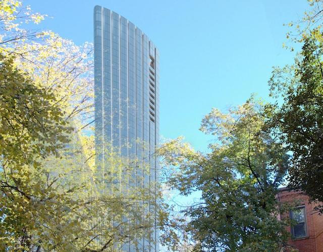
Average rent prices in Boston have seen steady increases in the last two decades. Prices continue to rise with the recent completion of many amenity-rich luxury rental buildings in downtown Boston. 
 
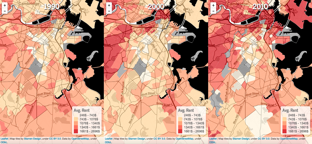
These maps were published by Ugentry, a group that used data from the American Community Survey and The Boston Foundation/MAPC Data Common to examine gentrified neighborhoods "and establish a baseline of data that gives a rich picture of how the neighborhood has changed over time." Read more from Bostinno.
 

Maps of average Boston rent prices (1990, 2000, and 2010)

Maps of average Boston rent prices (1990, 2000, and 2010). Map tiles by Stamen Design/CC BY 3.0.


Boston's Building Spree - featuring the new Four Seasons residential tower at One Dalton Street

One Dalton Street

Featured is the new Four Seasons residential tower at One Dalton Street, a Campion and Company Exclusive Development

One Dalton Street

"Its businesses and population on the rise, Boston is in the midst of a building spree whose enormity, pace, and geographic sweep are redefining the skyline faster than any period since the early Industrial Age."

Want to know more about new construction and upcoming developments in Boston? 

Post by Campion and Company Fine Homes Real Estate.